owl head logo

Conditions

Today,
5 October 2024

Skiing conditions

Complete details of today's ski conditions

TODAY, 5 October 2024

0°c

AFTERNOON 0 °c
TOMORROW 0°c

40, Chemin du Mont Owl’s Head
Mansonville (Québec) J0E 1X0 Canada

Hiking

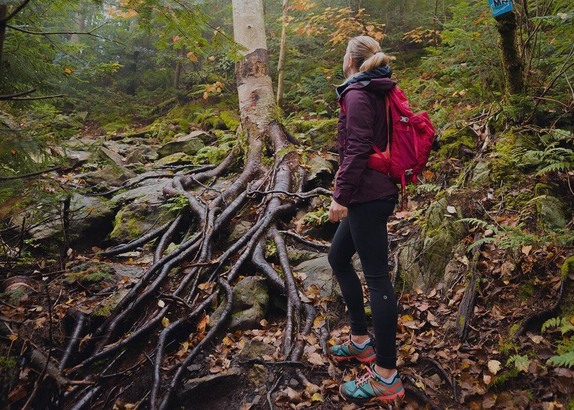
Hiking trails crossing a mixed forest

The paths are managed by the Missisquoi Nord organization. To download the path map and find out more about the routes go directly on the Missisquoi Nord website.

Open trails:

Abénaquis-Maçonnique, Raquettes, Panorama and l’Échappée


Breathtaking view at the summit

All roads (or in this case, paths) lead to the summit, which has a 540-metre average elevation. Little frequented, the mountain offers a vigorous hike in nature with, as its final reward, the view of Lake Memphremagog and Vermont. Leashed dogs are permitted.

Everyone agrees: the view from the summit of our mountain will take your breath away! Admire the panoramic vista of the lake below and the surrounding mountains of Jay Peak, Éléphant and Orford. Hikers have the choice of 2.8 km, 3.5 km or 5 km loops. Along the way, you could spot birds of prey here and there, such as turkey vultures and eagles, as well as all sorts of other wildlife.

A 150-year-old historic path

Many decades ago, the Abenaki peoples used this path to reach the summit of Owl’s Head. The Freemasons also took virtually the same route to get to their mountaintop lodge. The Abénakis-Maçonnique path pays tribute to our history as it winds through the forested mountainside. The trailhead is located by the ski lodge at the base of the ski trails. The terrain can be steep in spots and, after rain, very slippery.

Opening hours

HIKING TRAILS ARE OPEN

Our paths are open every day from sunrise to sunset. Spring openings and fall closings depend on the weather.
Hiking trails are now open for the season.
Rates

Path access is free of charge at all times.

List of paths
L’Échappée (1,2 km)
Linear – Intermediate


Abénakis-Maçonnique (2 km)
Linear – Intermediate


Chalet (3,2 km)
Loop – Advanced


Panorama (5,4 km)
Loop – Advanced
Mountain safety
Owl’s Head paths are not monitored and we are not responsible for your safety. It’s up to you to ensure that you have the proper skills, abilities and appropriate equipment for hiking. In case of emergency, dial 911.
Dogs allowed
You may bring your faithful canine companion as long as it is leashed at all times.

NEWSLETTER

Stay in touch